The departure is from the Piazza in San Mauro di Saline , in front of the Monument to the Fallen.
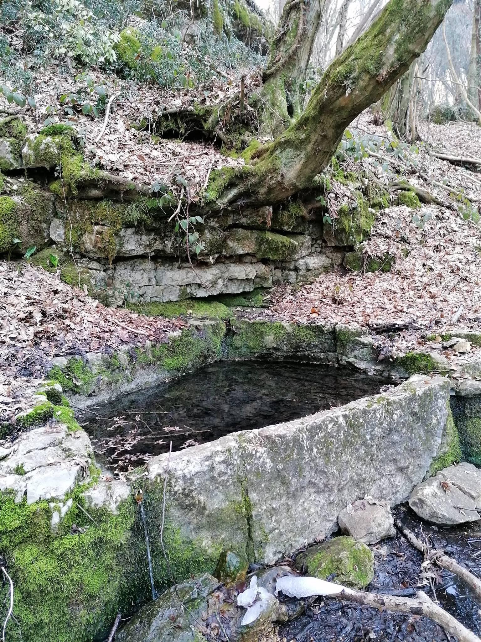
Take the descending road leading to the Town Hall, leaving it on your right and continuing until the indication for the San Mauro Spring. Turn right and enter the path in the woods. Follow the path that descends to the left, cross the stream, and continue into the woods until the end, where there is an ancient stone basin.
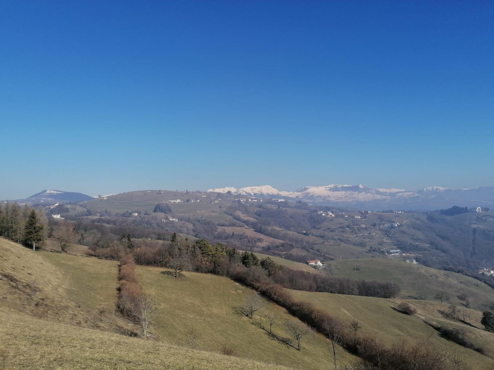
Continue uphill until you reach Contrada Sella. Keep right at the fork and continue uphill through several hairpin bends until you exit the woods. Here you can enjoy a 360-degree view of San Mauro di Saline.
Continue straight on the path until you reach the paved road leading first to Contrada Spillichi and then to Contrada Somellini.
Pass this last one, reach the top, and following the path, descend until you reach the contrada in front of Malga Zebari.
Cross the provincial road and take the parallel path to return towards San Mauro. After the first stretch in the woods, the path opens up into a meadow and once again you can enjoy a beautiful view of the Lessinia. Continue until you reach the pine forest of San Moro.
Follow the paved road, passing through the village and ascending to the top of the pine forest (there are several roads you can take to ascend).
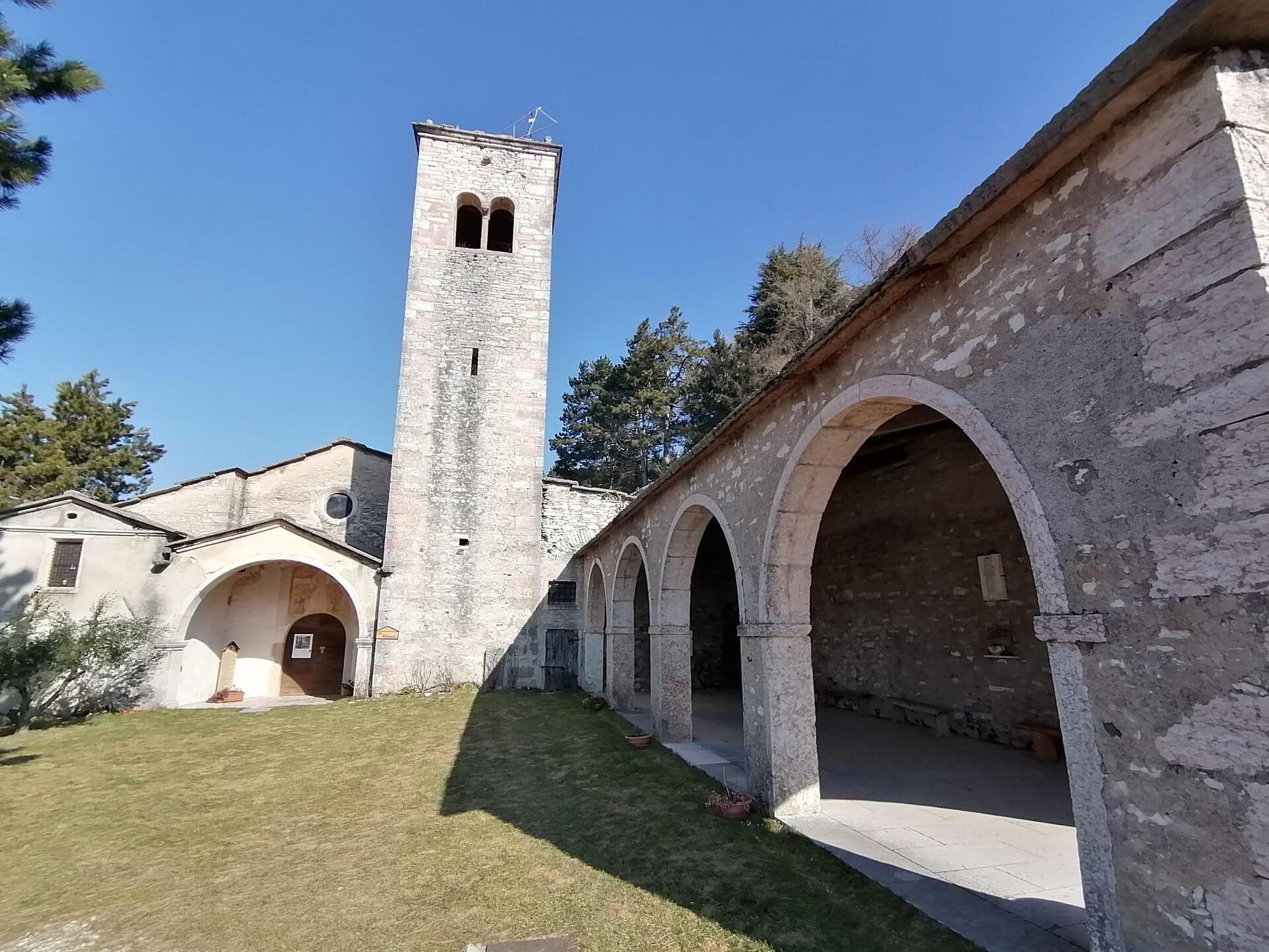
Reach the Hermitage of San Moro, the beautiful oasis of peace immersed in greenery and tranquility.
Descend the path with the stone slabs of the Via Crucis until you reach the parking lot situated in a hairpin turn.
Just before the parking lot, keep left and descend on the path bordered by a fence that leads back to the provincial road. Continue on the sidewalk until you return to the Monument to the Fallen.
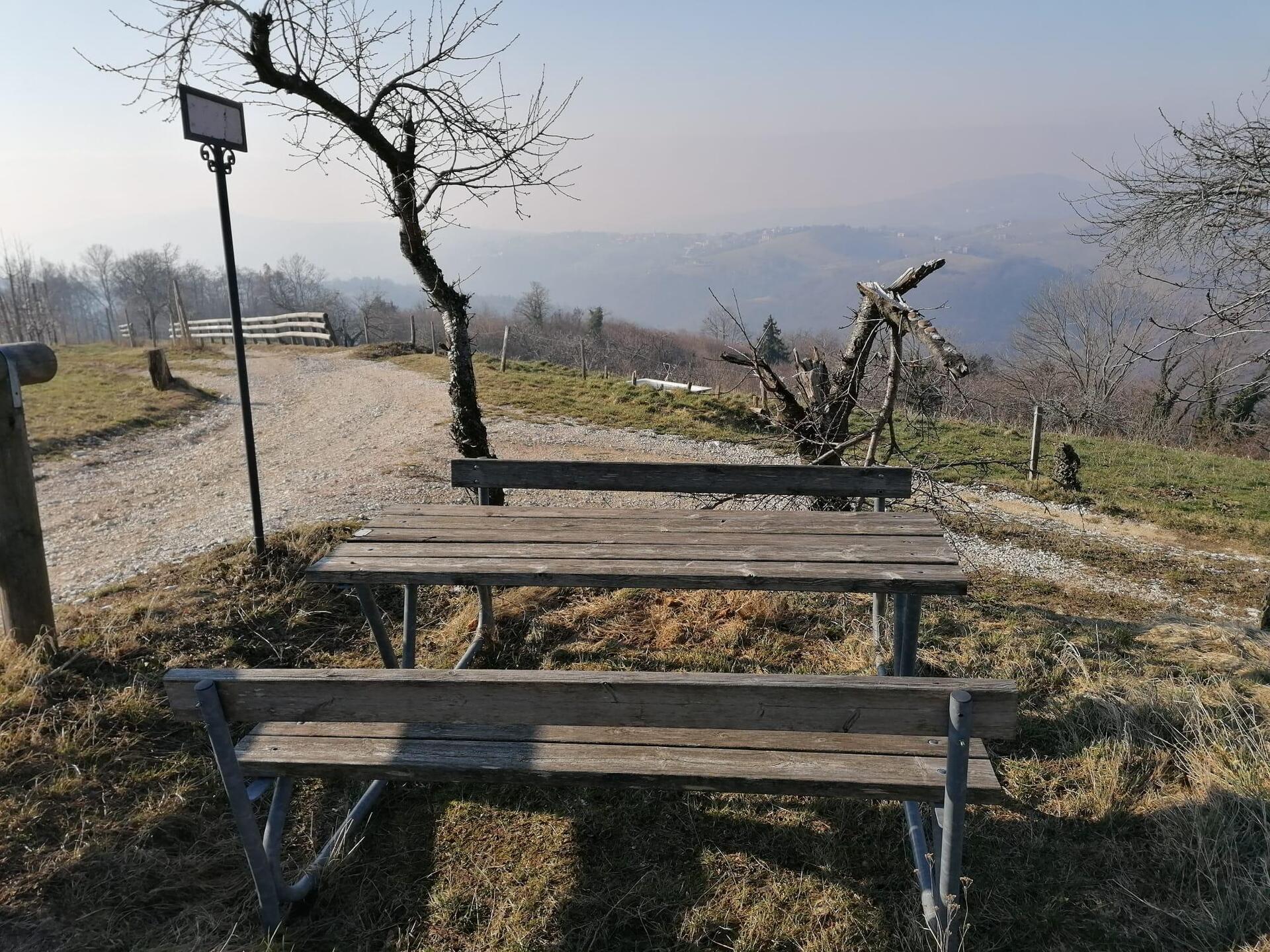
Along the route, there are picnic areas with tables and benches.
Be careful to follow the trail and the information, the path is currently not marked.
Length: 8.50 Km
Time required: 2.30 h - 3 h
Maximum height: 943 m - Minimum height: 689 m


 ${item.descriptiveTime && item.descriptiveDate.endsWith(item.descriptiveTime) ? item.descriptiveDate.slice(0, -item.descriptiveTime.length).replace(/[\\s/,-]+$/, '') : item.descriptiveDate}$

 ${item.className === 'event' ? item.city : item.regionTag}$
 Website