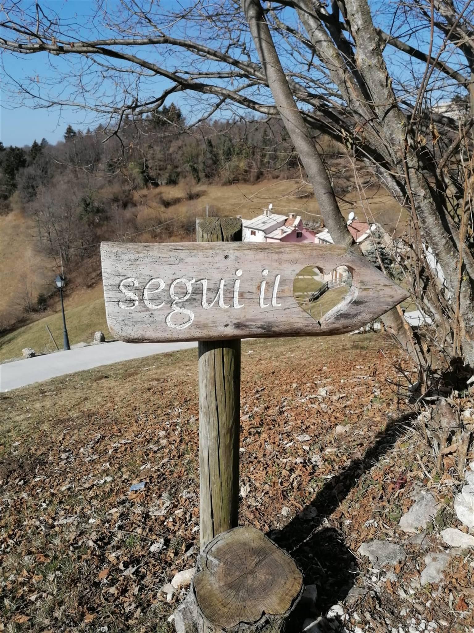
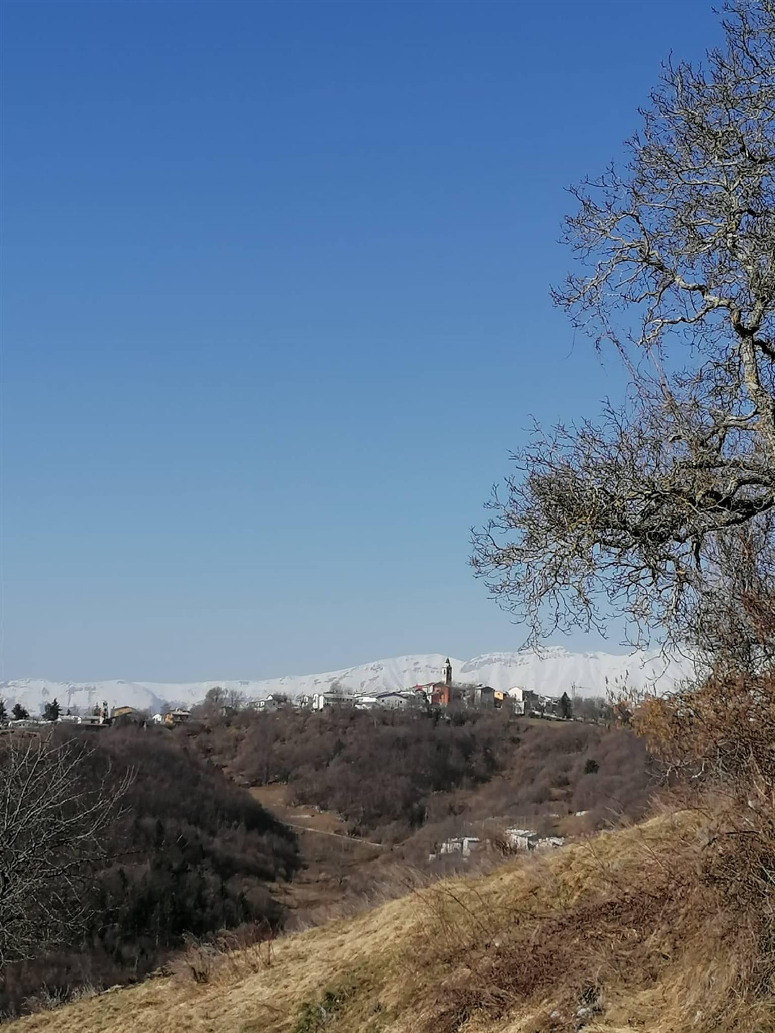
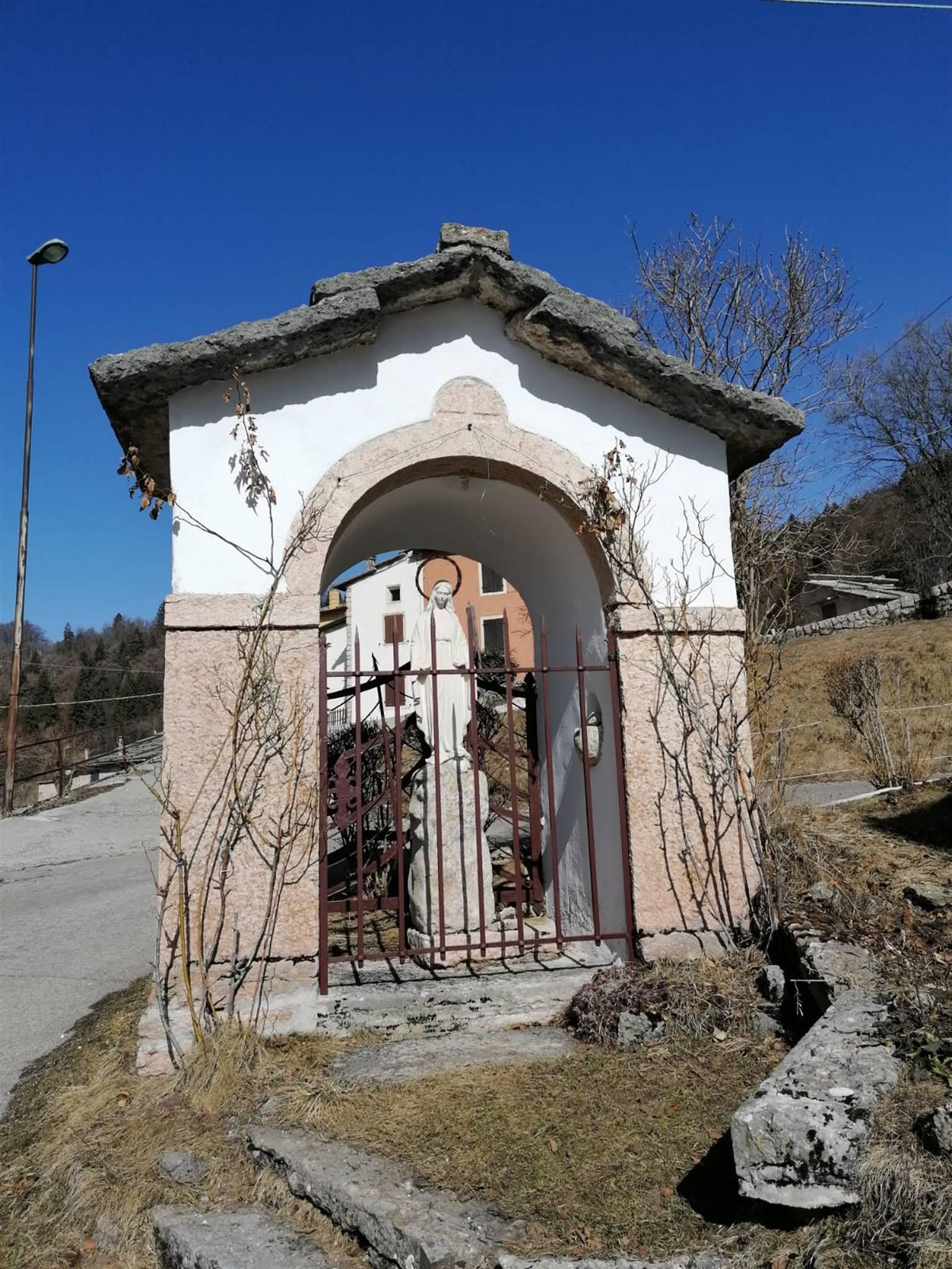
Follow the signposting "Camminabosco", route no. 1. Along the way, you can find some variations.
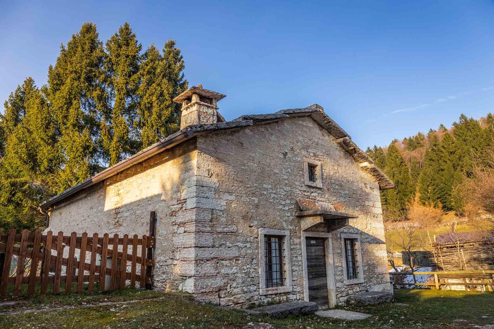
The route starts from Piazza della Chiesa in Bosco Chiesanuova and descends towards via Cantarane. After about 100 meters, the road becomes an old mule track and ascends towards the hamlet Coletta (1113 m) where you can admire the Baito della Coletta, an ancient building dedicated to the transformation of milk into cheese, recently renovated and converted into a museum (open during the summer period).
Then take the asphalt road that descends to Biancari, where an ancient porch with six arches makes this hamlet unique. Continue from the center of the hamlet west along the road marked as path n. 256, amidst the houses. The flat road leads to contrada Tander.
Leave the houses on the right and follow the path, which becomes a trail. Follow the stone walls and, after a brief stretch in the woods, you will reach the old and isolated contrada Der.
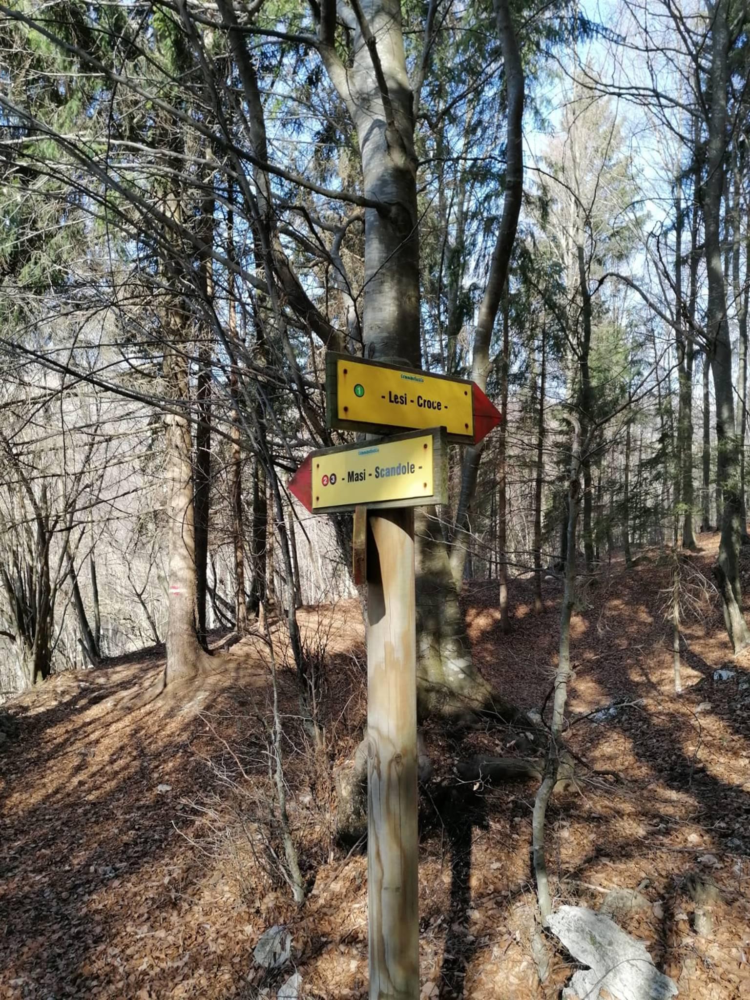
Continue in the woods and pass through a wooden gate, reach the signpost and keep to the right, towards Lesi and Croce (follow route n. 1). The path continues in the woods, so pay attention to the white and red markings on the trees until you reach the end of the vajo.
Continue straight on the trail, climbing up the vajo, and exit the woods. Reach and cross Contrada Lesi. At the next path sign, ascend to the right, re-entering the woods.
Continue uphill in the woods until you reach Contrada Croce. After a short stretch of asphalt road, descend to the right and then slightly to the left to pick up the trail again. Follow the indications for Bosco Chiesanuova.
Retrace the first part of the route in reverse, passing through Contrada Biancari, Colletta, Ongar, and return to the square in Bosco Chiesanuova.
START AND END POINT: Piazza della Chiesa, Bosco Chiesauova
LENGTH: 6 km
ESTIMATED TIME: About 2 hours
ELEVATION GAIN: + 192 m


 ${item.descriptiveTime && item.descriptiveDate.endsWith(item.descriptiveTime) ? item.descriptiveDate.slice(0, -item.descriptiveTime.length).replace(/[\\s/,-]+$/, '') : item.descriptiveDate}$

 ${item.className === 'event' ? item.city : item.regionTag}$
 Website